| Geography |
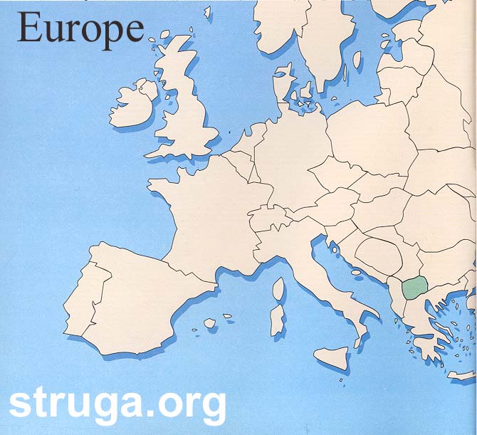
The municipality of Struga is located in the Southwestern part of the Republic of Macedonia or in the Midwestern part of the larger ethno-geographical region of Macedonia.
 |
 |
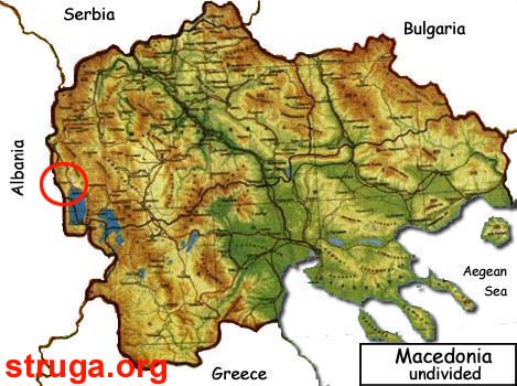 |
| Republic of Macedonia on the European map | Map of Republic of Macedonia | Map of Macedonia |
The city of Struga itself is located at the Southernmost edge of the Struga valley, which is surrounded from West by the Jablanitsa mountain, from East by the Mokra mountain, from North by the Karaorman mountain and from South by the eternal Lake Ohrid. The mountains are rich with natural beauties, thick oak, beech and pine woods, clear springs and streams, glacier lakes, beautiful picturesque villages and a great number of historical monuments. Lying on the Northernmost tip of the lake Ohrid, the city is divided in two halves by the river Black Drim, which flows out of the lake straight through the heart of Struga. Being located at the same time on a lake and a river gives Struga a unique charm and beauty.
Spread amidst ancient sunlit beauties permeating abundant nature and numerous archeological sites, Struga municipality endures. A town with plentiful and precious cultural heritage and 13th and 19th century churches, Struga bathes in warm sunrays 240 days a year owing to its moderate continental climate.
Currently, Struga is a municipality of 34,509 out of which 18,000 people live in the town itself. Stretching over a 100 square meter area rife in extremely favourable geographic, historical, cultural and other natural resources, Struga sees tourism as its priority for regional development but it also does not lag in the development of textile industry, agriculture, animal husbandry and forestry. The municipality is interested in development and improvement of agriculture, small-size and middle-size enterprises, usage of forests and protection of the Lake Ohrid which was enlisted into UNESCO protected sites in 1980.